 About a two hour walk in wet fog.
Washington Coast – The North Beach
When the time is right, the top of Mount Rainier is visible from this cam:
Westport – coastal weather cam here.
About a two hour walk in wet fog.
Washington Coast – The North Beach
When the time is right, the top of Mount Rainier is visible from this cam:
Westport – coastal weather cam here.


 Looking over the jetty that connects to the former Damon Point recreation area:
 Never collect or burn driftwood.

 Near Craven Rock
 Above: Sand carving by Monica
1984 – Survivor
The romantic song in Paul Blart’s head at the mall:
Old Man Blog:
Thoughts on changes in American culture relating to those born roughly in the late 50s & early 60s.
Original Old Man Blog here: https://oldmanblogdotcom.wordpress.com
New updates here: https://oakbaystarfish.com/category/old-man-blog/
 Years ago at Port Hadlock
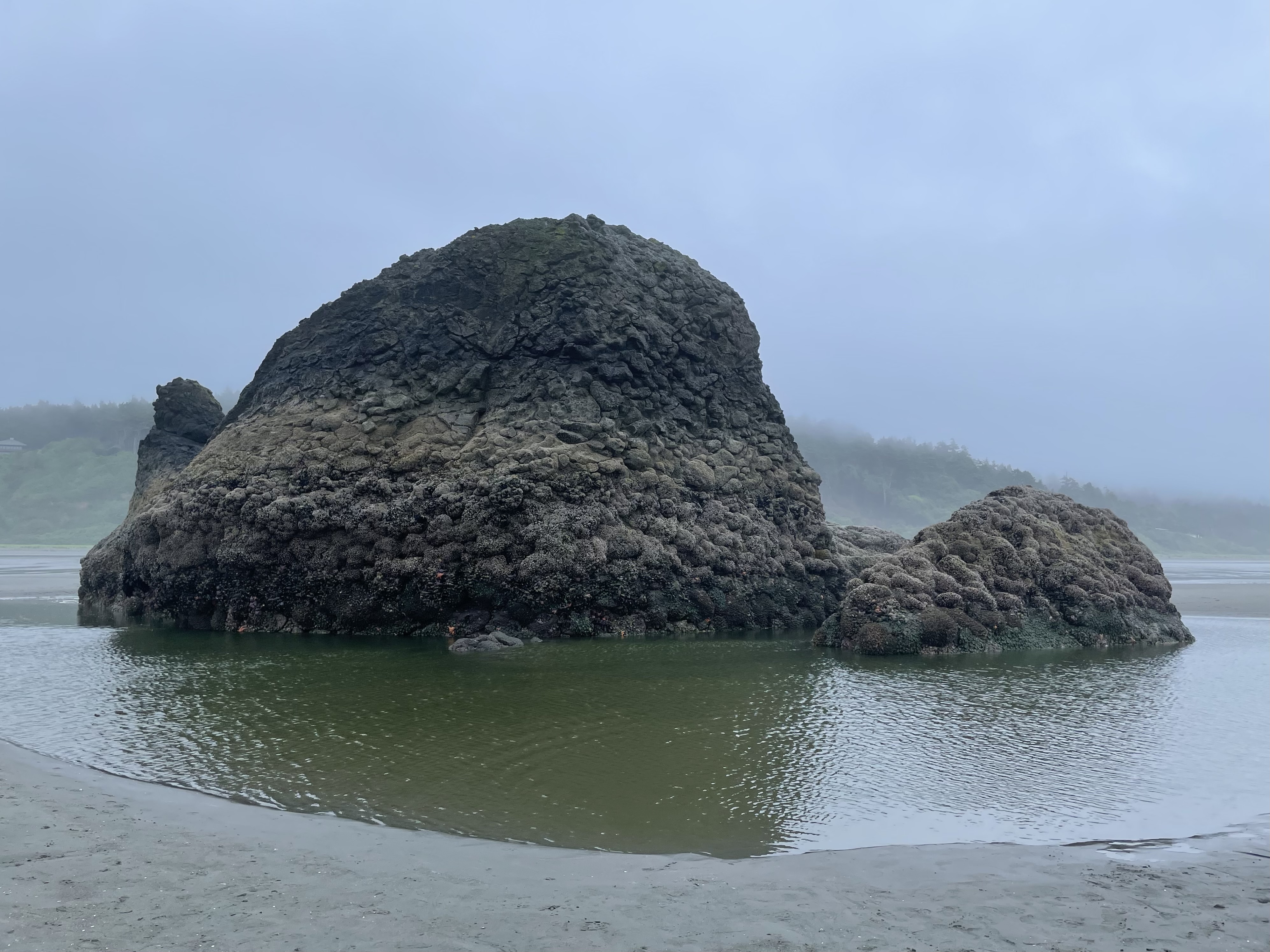 Above: Copalis Rock
We parked near the public access road at Roosevelt Beach and walked out to Copalis Rock and back. We were on foot for about two hours.
We were happy to be able to walk on all sides of the rock.
There was a heavy mist during much of the walk.
We were out recently on June 20th. The weather was drier, but the tide was not as low:
Roosevelt Beach to Copalis River
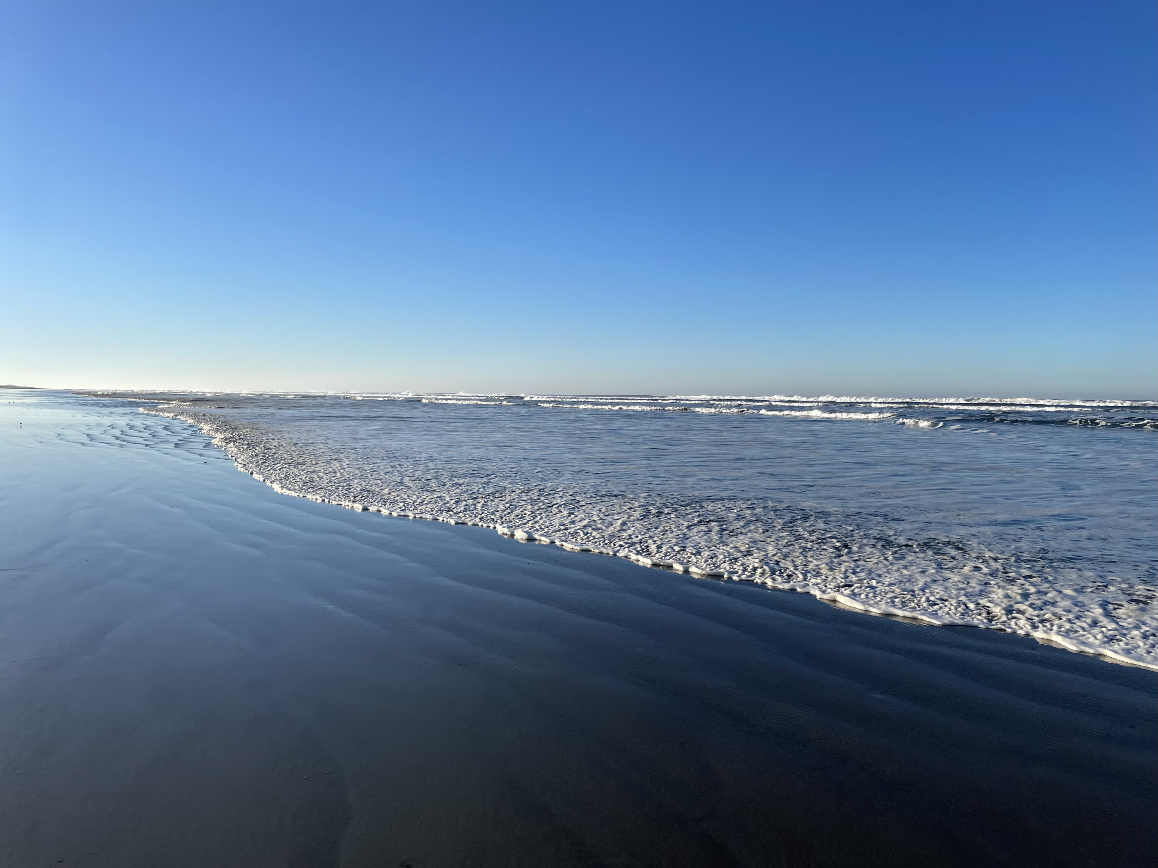
No sun visible during today’s outing.
 At low tide, there is a scattering of large rocks that are visible on and offshore.


 Heading back:


 Wildlife for today:
We saw a River Otter near the rock. We saw at least one Bald Eagle.
I went out toward the surf and saw something larger than a Harbor Seal swimming near the shore.
Was it a Sea Lion? Was it an Elephant Seal?
Not sure. Here is a look at several possibilities.


 Above: Copalis Rock
We parked near the public access road at Roosevelt Beach and walked out to the river and back. We were on foot for just under three hours.
May be tricky to keep feet dry while crossing Boone Creek.
Dog Friendly
 Nice views of the rocks


 Airport is between Copalis Rock and the river:


 Near the mouth of the Copalis River:
 A really nice walk.
 Earlier this month, we walked out to the south side of the river:
Local info:
Sea Kayak – Copalis River Spit
 We are just south of the Copalis River and looking north to Copalis Rock.
Local info:
Griffiths-Priday State Park – Copalis River Spit
First time out there today.
A nice video taken from The Slow Lane here.
 Washington Coast – The North Beach
When the time is right, the top of Mount Rainier is visible from this cam:
Westport – coastal weather cam here.
Recent rains create texture on the sand.
 Out for a walk – Wednesday morning.
Washington Coast – The North Beach
When the time is right, the top of Mount Rainier is visible from this cam:
Westport – coastal weather cam here.
 Nice summer day out there.
When the time is right, the top of Mount Rainier is visible from this cam:
Westport – coastal weather cam here.
 Looking out towards Rat Island
Here is an old photo taken out at Rat Island, looking back toward the same spot where the top photo was taken:

 Looking towards Nordland
 Westport
Several sites on the web offer info on ship locations.
Ship above is DREAM SKY
When the time is right, the top of Mount Rainier is visible from this cam:
Westport – coastal weather cam here.
 Westport – The Cove
Here is a very nice image identifying local coastal features.
Source/credit: City of Westport
 When the time is right, the top of Mount Rainier is visible from this cam:
Westport – coastal weather cam here.
Another live cam, just to the south:
 Westport
Out last week to take a look at the local scene.
 When the time is right, the top of Mount Rainier is visible from this cam:
Westport – coastal weather cam here.


 When the time is right, the top of Mount Rainier is visible from this cam:
Westport – coastal weather cam here.
 Click images once or twice to show detail.
 Out for a walk – Wednesday morning.
Washington Coast – The North Beach
When the time is right, the top of Mount Rainier is visible from this cam:
Westport – coastal weather cam here.
 Out for a walk – Friday morning.
Washington Coast – The North Beach
When the time is right, the top of Mount Rainier is visible from this cam:
Westport – coastal weather cam here.
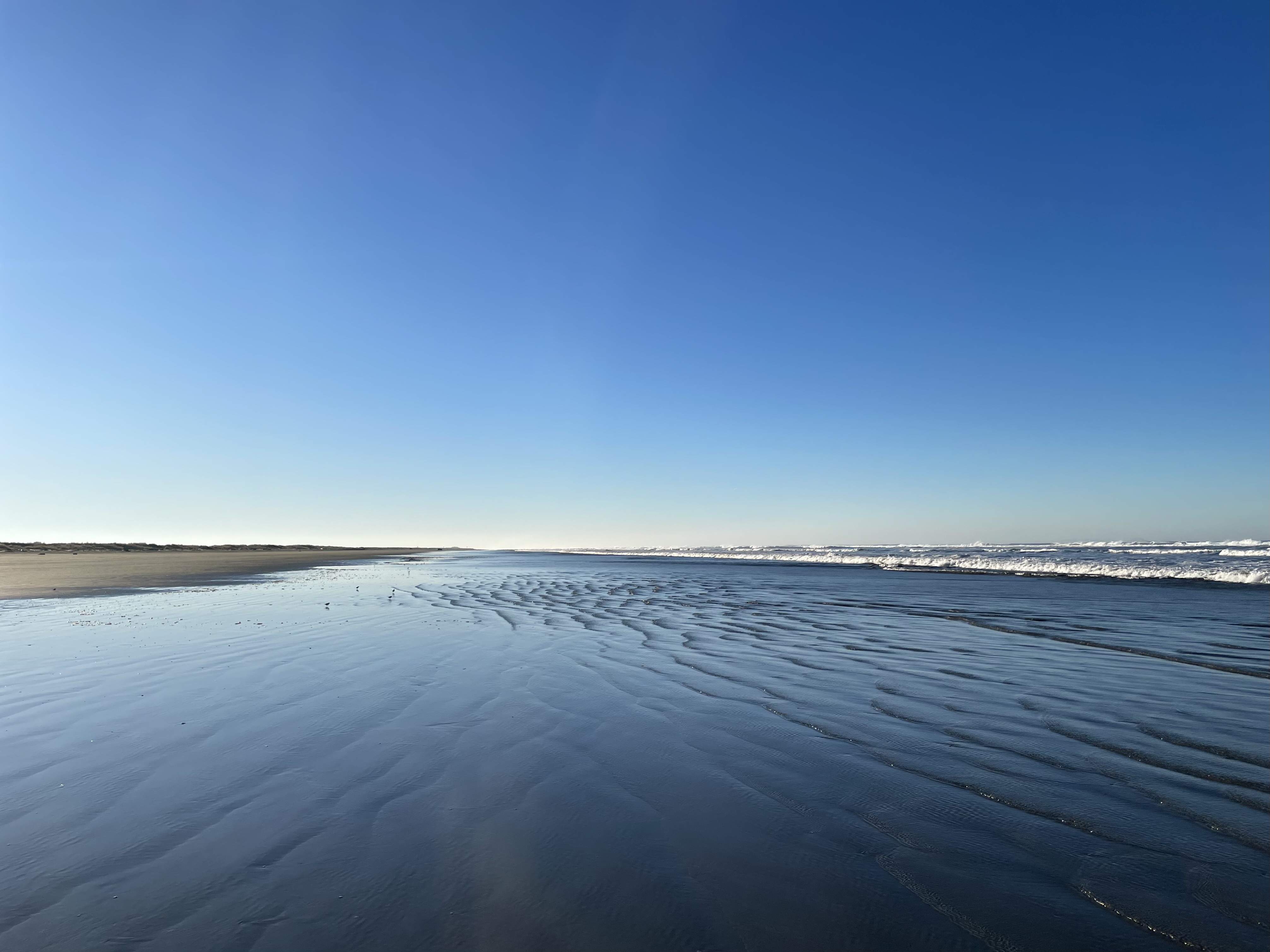
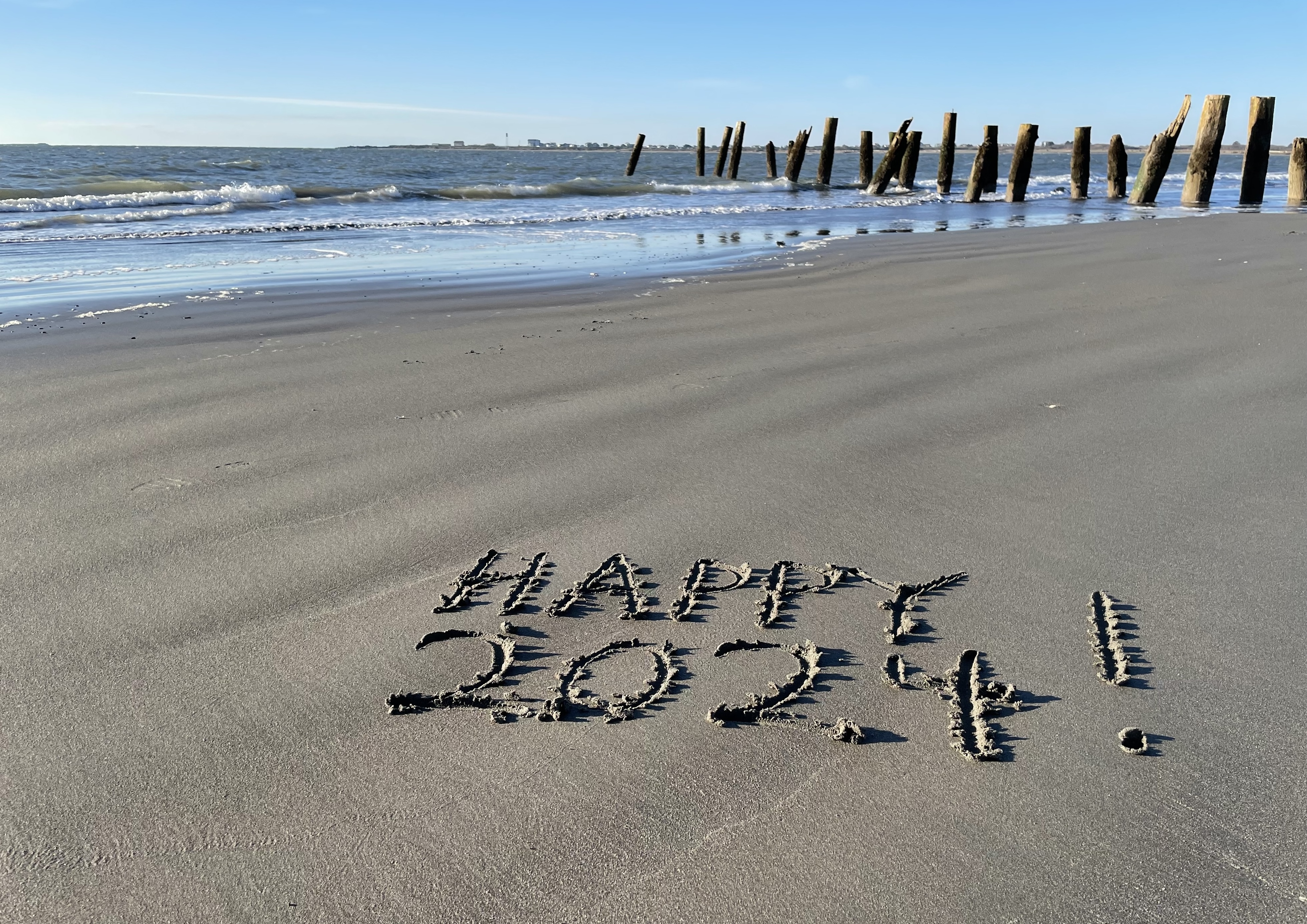
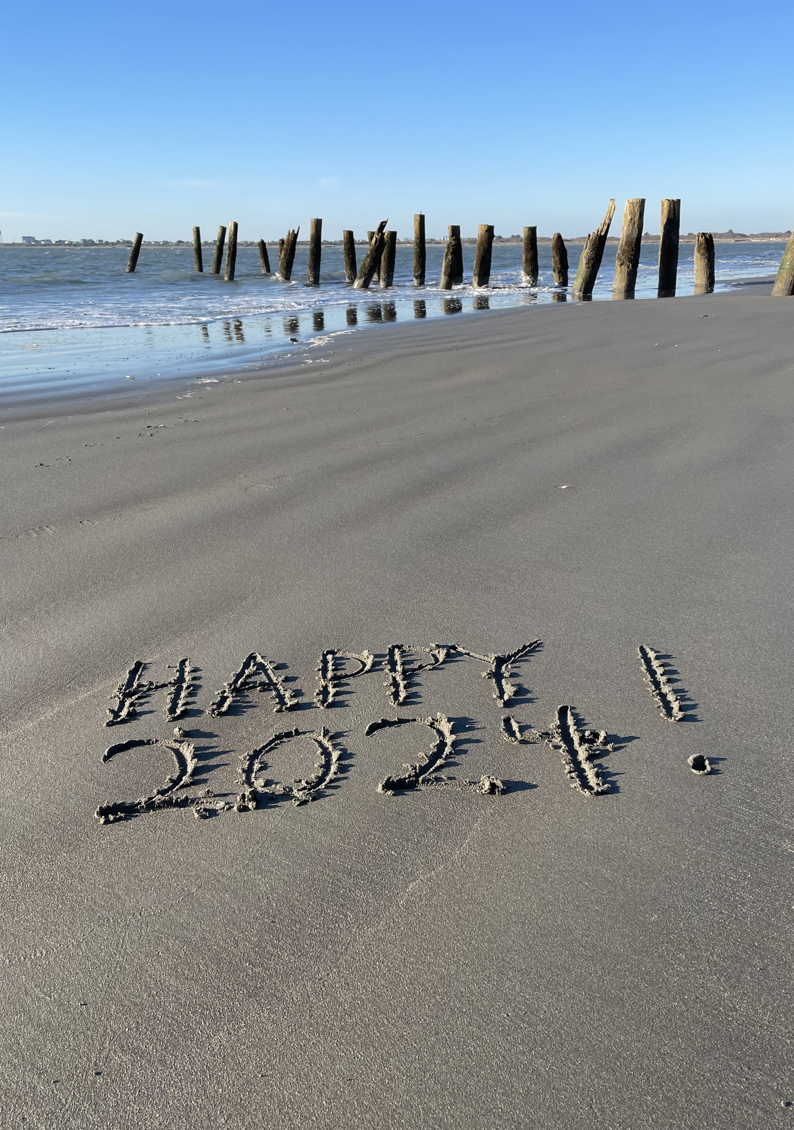
 Photo above: Jan 1st, 2024 – We are on the observation tower and looking out to Westport Jetty. We walked on the beach out to the base of the jetty and looked for surfers. A really nice beach walk.
Stayed over on Monday night and left without a treasured pillow from home. Too far down the road to turn back, my wife called and spoke with Denise at the office. She understood the situation and said they would have the pillow brought over to the office and placed in lost and found. We went back on Thursday to pick up the pillow. They had carefully set it aside with a very complete note identifying the owner and when and where we left it. Denise and staff were very kind and took great care of this situation for us.
We have been out to stay several times at Westport Marina Cottages. Personal blog/review here. Frank Hotels web page here.
Frank Hotels also operates WESTPORT INN. We have not stayed there yet. We arrived at the office there to pick up the pillow. The property looks very tidy and well maintained.
From the observation tower – When the time is right, the top of Mount Rainier is visible from this cam:
Westport – live cam here.
 Washington Coast – The North Beach
When the time is right, the top of Mount Rainier is visible from this cam:
Westport – coastal weather cam here.
 This one looks to be from a trip out to Ruby Beach and beyond in April of 2013.
Click image once or twice to show detail.
Most likely on the same outing:
The Pacific Coast at Ruby Beach
Another page:
The Pacific Coast at Ruby Beach
Same trip?
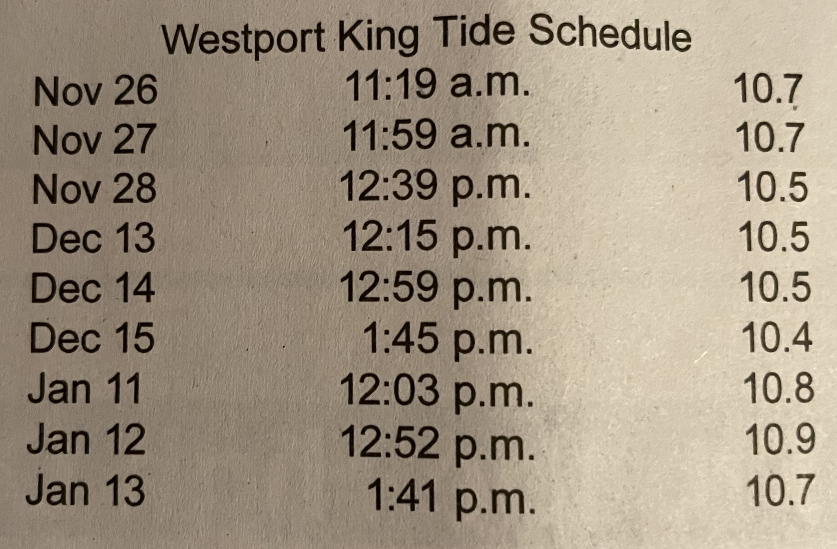 Image above:
Posted in the recent edition of The Ocean Observer top of page B-2
A favorite tide data page here.
When the time is right, the top of Mount Rainier is visible from this cam:
Westport – coastal weather cam here.
Possibly of interest:
98569 Coastal Erosion Attitudes


