


 Looking over the jetty that connects to the former Damon Point recreation area:
 Never collect or burn driftwood.

Looking over the jetty that connects to the former Damon Point recreation area:
Never collect or burn driftwood.
 Brown pelican (Pelecanus occidentalis)
 This one looked pretty big, so we set down a common item to show scale.
Click image once or twice to show detail.
 A smaller one- not far away:
 Checking around the web, this appears to be Cyanea capillata.
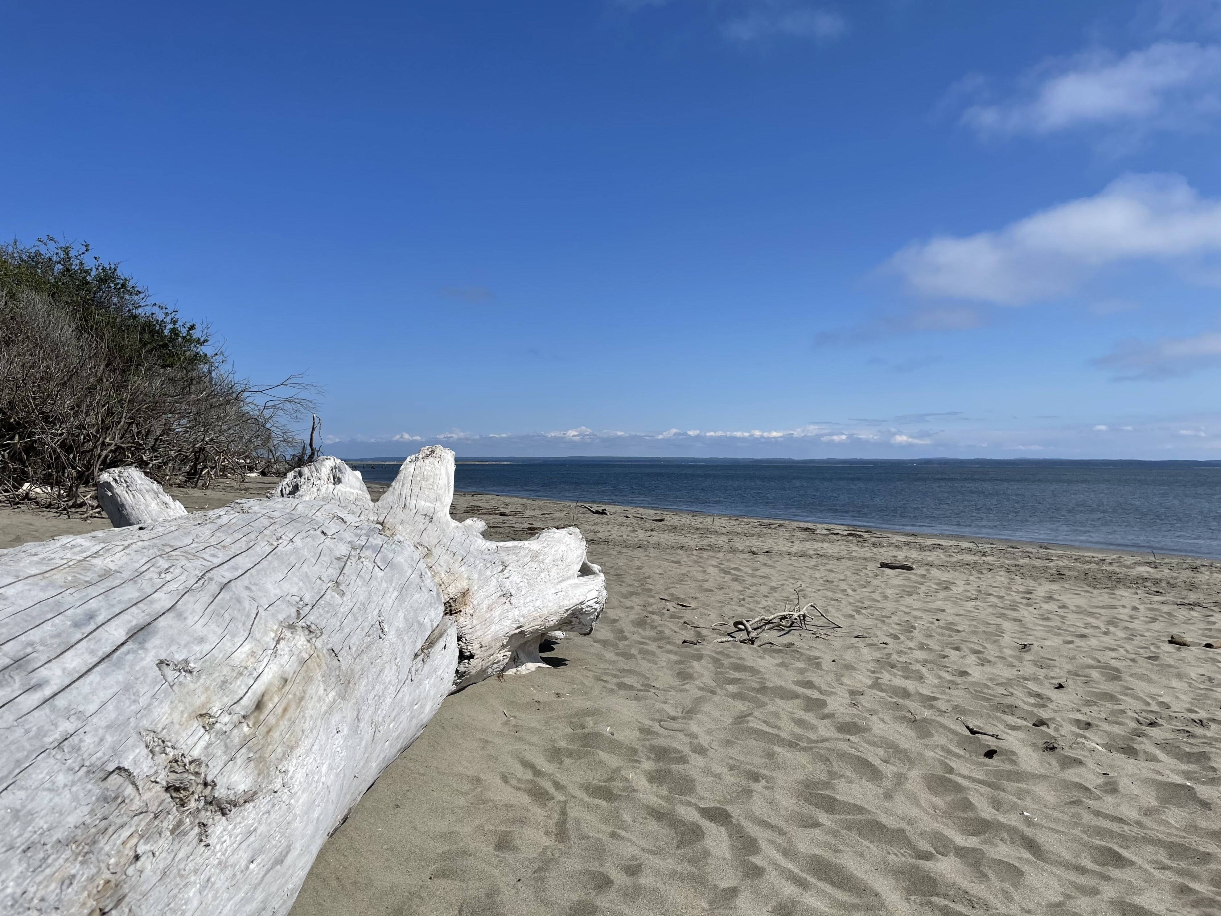
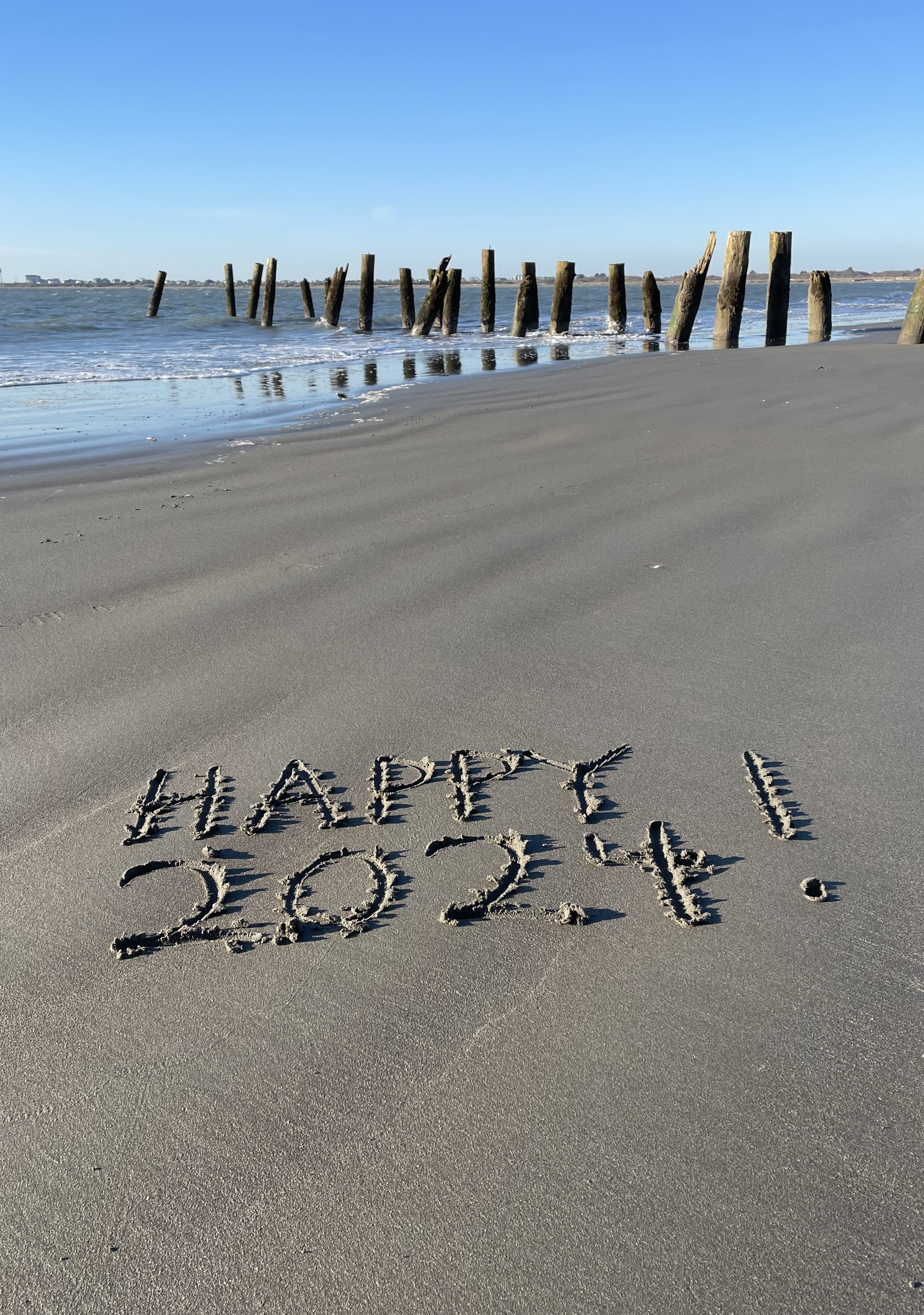
 Out for a walk on Friday morning.
 Out this afternoon to take a look.
Image above shows the partially submerged 1916 jetty offshore and two merchant ships anchored off Westport.
Several sites on the web offer info on ship locations.
Ships above are ILEKTRA to the left and ALMAR to the right.
Click image once or twice to show detail.
A lot of nice beach out there.


 When the time is right, the top of Mount Rainier is visible from this cam:
Westport – coastal weather cam here.
 Image above: July 6th, 2024. Looking over the jetty that connects to Damon Point on the far end. We are near the end of the jetty adjacent to the Wastewater Treatment Plant.
Jetty Adjacent to Damon Point
The jetty adjacent to Damon Point appears to be neglected/not maintained over the years. Anyone going down there to walk at Damon Point will see this. The public beach access needs improvement.
Today, beach walkers moving toward the water from the parking area at Damon Point are channeled to a choice between an eroded/unsafe former road drop-off and private property that is posted, telling walkers that they are not welcome.
 Image above: Taken on July 6th, 2024 from the public access trail adjacent to the Ocean Shores Wastewater Treatment Plant.
Priorities are in place (as they should be) and so is this armor-plated bulkhead.
Has any priority been established for maintaining the Damon Point/Ocean Shores Marina end of the jetty?
Significant History
1916 – Jetty adjacent to the public parking area at Damon Point is installed. Apparently, no maintenance has been done on this part of the jetty since 1916.
In the news:
Nov 2, 2023 The Daily World
A 100-year old jetty used to protect Ocean Shores. Can new technologies save its south end?
“In 1916, the U.S. Army Corps of Engineers completed the construction of Grays Harbor’s North Jetty, a three mile-long berm of boulders jutting into the Pacific, hugging and holding the entire southern shoreline of Ocean Shores. The body of water now known as Oyhut Bay did not exist.”
Grays Harbor did not encroach inland of the 1916 jetty?
Sept 16, 2024 FOX13 Seattle
Ocean Shores battles erosion crisis as WA shoreline vanishes, homes at risk
“…in a race against nature as erosion from the ocean threatens to destroy homes and infrastructure.”
“Marshall believes a solution could lie in restoring an old jetty built more than a century ago, but the cost could reach $60 million — a significant investment that would come with bureaucratic challenges.”
“…the future of Ocean Shores remains uncertain.”
Race against nature, but the original jetty adjacent to public parking at Damon Point has not been maintained in 108 years? Love to see newspeople ask questions on this.
State Park
At some time in the past, a WA State Park was located at Damon Point. This is no longer the case:
 Photo above: Nov 12, 2023 – No mention of a State Park
Looks like WA DNR, at some time in the past, took over what once was Damon Point State Park.
From Washington State Department of Natural Resources (DNR)
“Damon Point was once Protection Island, a sandy shoal at the mouth of Grays Harbor, separated from the town of Ocean Shores by a channel of water.”
“During this period, Damon Point was a state park, with a paved road extending 2 miles out to the end of the spit.”
No longer Here – Ferry to Westport – Fell Apart on the Ocean Shores Side
Ocean Shores to Westport: Remembering the El Matador Ferry
By Douglas Scott
“Separated by less than two miles as the crow flies, traveling between Westport and Ocean Shores should be a quick excursion, but the drive is an hour long between the two seaside towns.”
“Sadly, the ferry service shut down in 2008, but not due to lack of popularity. While the ferry service had seen closures in previous years, the service would always pick back up and be celebrated by residents and visitors alike. Sadly, after too much sand and silt built up around the Ocean Shores marina, the El Matador was forced to cancel trips across the harbor. What was once a family-friendly boating experience and adventure across the harbor is now relegated to fond memories.”
Imagine telling the fishing boat captains over at Westport that their access to a 100 year old armor-plated harbor was going to be let go because too much sand and silt built up around the marina.
At Damon Point, Ocean Shores once had an active marina with a restaurant, cocktail lounge and salmon charter boat outings. The Silver King Motel was there too.
Ocean Shores Marina History – A Time Gone By
Different story over at Westport
“…less than two miles as the crow flies…”
Concerns Re: tsunami zone, global warming, sea level rise, climate crisis, king tides, coastal erosion, El Niño/La Niña and winter storms do not get in the way of keeping things maintained on the working waterfront at Westport. Well done.
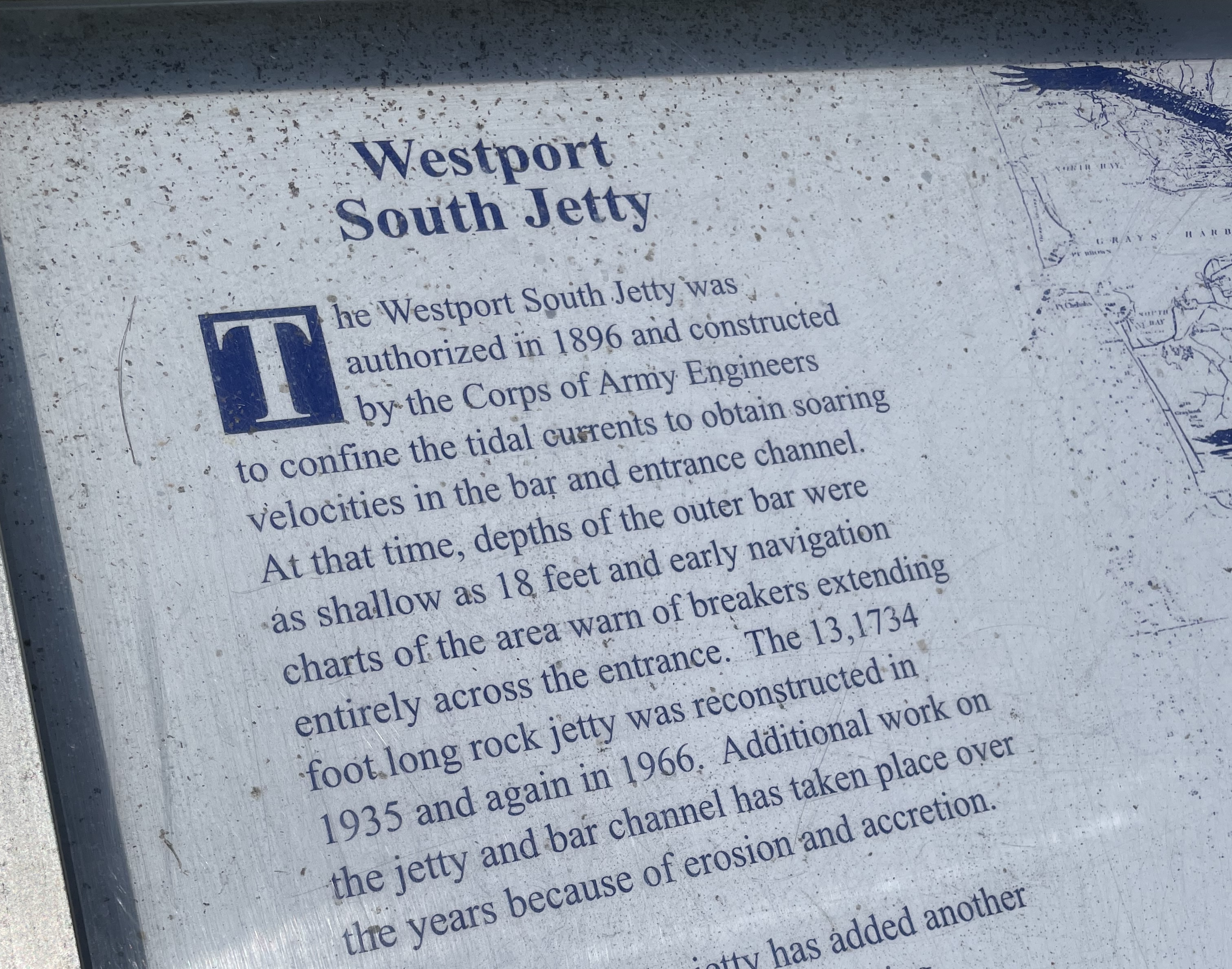 Above: Posted near the Westport Light Trail, a description of how the jetty on the Westport side has been maintained over the years.
What would Westport look like if efforts to maintain the coast were suspended?
Two Jetties – Westport and Damon Point
Related:
Westport, WA Foot Ferry – A Race Against Nature?
Coastal Erosion Attitudes – 98569
What would Westport look like?
Damon Point – Coastal Erosion Attitudes
Less Than Two Miles As The Crow Flies – Ocean Shores Marina History
Ocean Shores Marina History – A Time Gone By
98569 Coastal Erosion Attitudes
Federal Cash For The Coast – 98569
Possibly of interest:
Sound Publishing And Black Press Media
 Above: Looking over to Westport Jetty from Oyhut Wildlife Recreation Area.
Below: Looking down the beach towards Damon Point.
 Looking over to Westport:
 No crowds today.
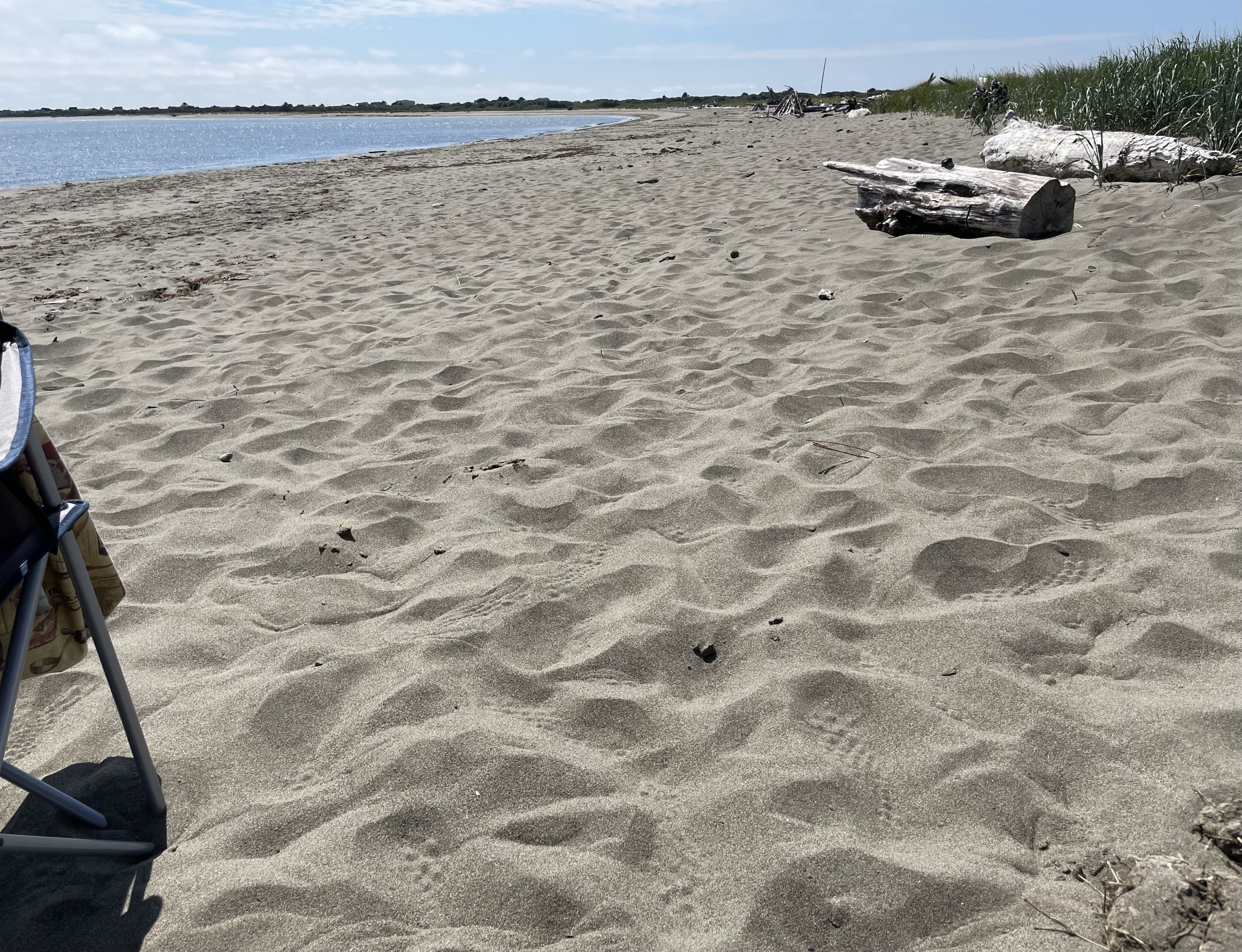
 Upper beach area – Oyhut Wildlife Recreation Area
 No crowds today.
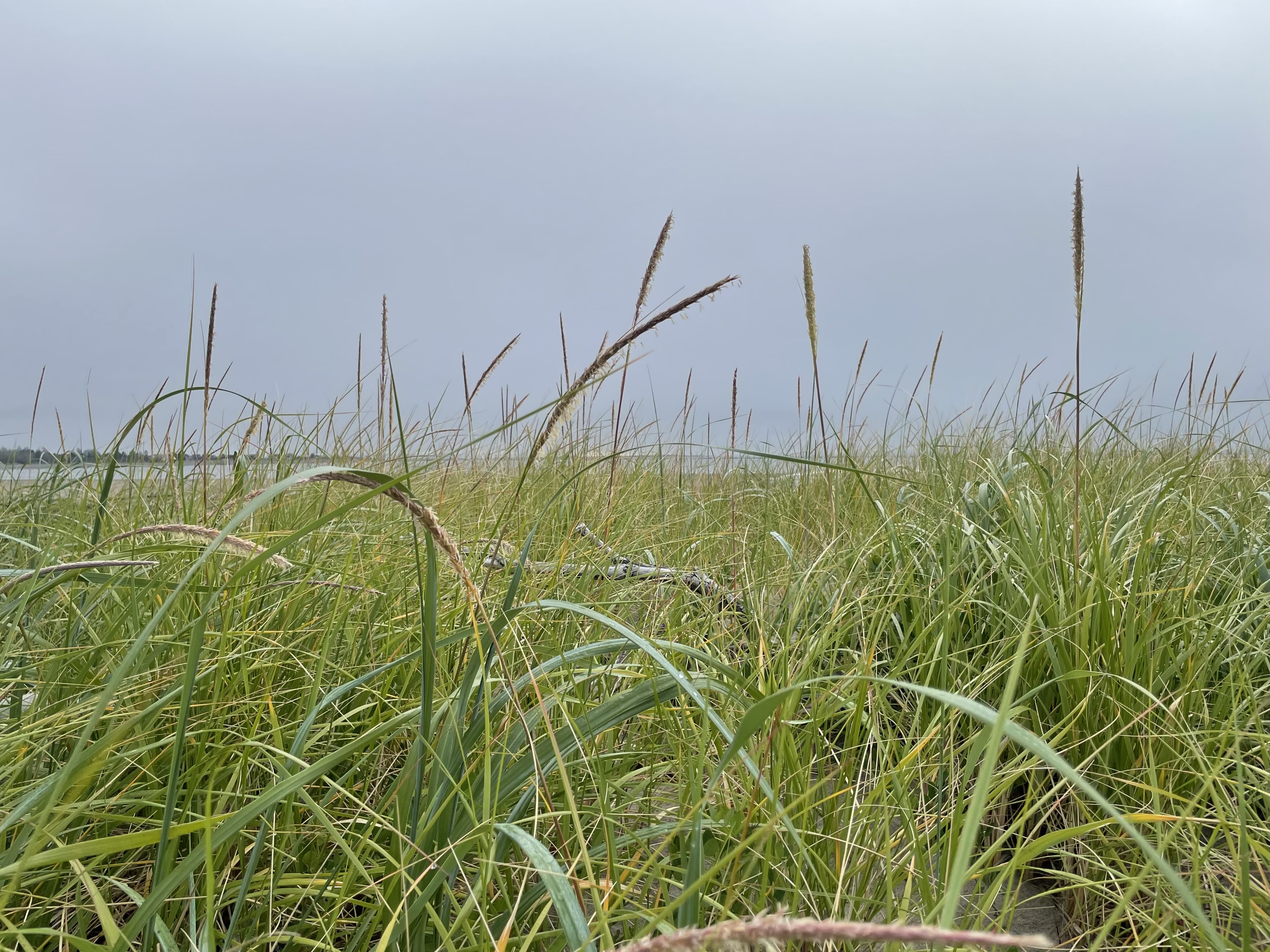
 Out to Oyhut Wildlife Recreation Area today for some beach time. Warm and sunny out there.
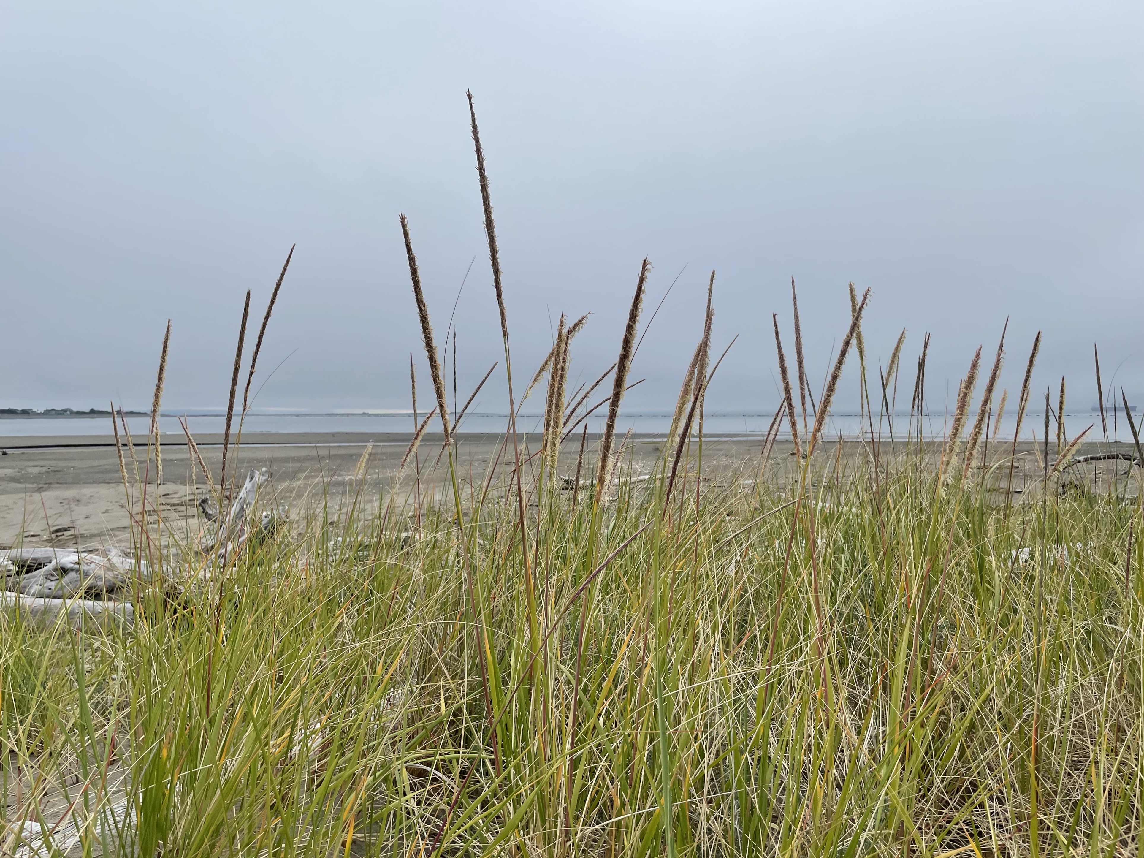
We are looking over to Westport.
Several sites on the web offer info on ship locations.
Ship above is ALMAR
Click image once or twice to show detail.
We were out during the tide change and watched the ship swing around while at anchor.


 Looking over to Westport Jetty from the area adjacent to Oyhut Wildlife Recreation Area.
Several sites on the web offer info on ship locations.
Ship in the distance may be EFFY N
Click image once or twice to show detail.
 Upper beach


 At Oyhut Wildlife Recreation Area and looking over towards Westport.

 When the time is right, the top of Mount Rainier is visible from this cam:
Westport – coastal weather cam here.
Image above: July 6th, 2024. Looking over the jetty that connects to Damon Point on the far end. We are near the end of the jetty adjacent to the Wastewater Treatment Plant.
The 1916 jetty now sits offshore.

Jetty Adjacent to Damon Point
The jetty adjacent to Damon Point appears to be neglected/not maintained over the years. This first got my attention when going down there to walk at Damon Point. The public beach access needs improvement.
Below: Public access for beach walkers at Damon Point.
This local news article describes “coastal erosion” and “…rising sea levels due to climate change…” as part of the story.
Another local article below, tells us the jetty closest to the Damon Point parking area was installed in 1916.
Question for newspeople: What has been done to maintain the jetty since then?
Part two of two in a series:
Nov 2, 2023 The Daily World
A 100-year old jetty used to protect Ocean Shores. Can new technologies save its south end?
“In 1916, the U.S. Army Corps of Engineers completed the construction of Grays Harbor’s North Jetty, a three mile-long berm of boulders jutting into the Pacific, hugging and holding the entire southern shoreline of Ocean Shores. The body of water now known as Oyhut Bay did not exist.”
Grays Harbor did not encroach inland of the 1916 jetty?
Different story over at Westport
Concerns Re: tsunami zone, global warming, sea level rise, climate crisis, king tides, coastal erosion, El Niño/La Niña and winter storms do not get in the way of keeping things maintained on the working waterfront at Westport. Well done.
Above: Posted near the Westport Light Trail, a description of how the jetty on the Westport side has been maintained over the years.
What would Westport look like if efforts to maintain the coast were suspended?
Damon Point once had:
A state park.
Suitable public access for beach walkers.
At Damon Point, the Ocean shores side once had an active marina with a restaurant, cocktail lounge and salmon charter boat outings. The Silver King Motel was there too.
At Damon Point, the Ocean Shores side once had a ferry to Westport. People liked it. It was shut down because:
Imagine telling the fishing boat captains over at Westport that their access to a 100 year old armor-plated harbor was going to be let go.
DredgeWire news update:
Nov 7, 2023
“In 2024 the Army Corps will begin work on a $17 million federally-funded project to repair about 7,500 feet of the jetty, protecting the west side of the peninsula, including the Ocean Shores wastewater treatment plant. The scope of that project does not include repairs to the old jetty submerged in Oyhut Bay.”
Recent Beach Walk
Image above: Taken on July 6th, 2024 from the public access trail adjacent to the Ocean Shores Wastewater Treatment Plant.
Priorities are in place (as they should be) and so is this armor-plated bulkhead.
Has any priority been established for maintaining the Damon Point/Ocean Shores Marina end of the jetty?
More here:
Two Jetties – Westport and Damon Point
Damon Point was once a state park. Why is it no longer a state park?
Is there an attitude related to climate change/sea level rise that is used as an excuse to back away from maintaining the shore?
Ferry to Westport – Fell Apart on the Ocean Shores Side:
Related:
What would Westport look like?
Damon Point – Coastal Erosion Attitudes
Less Than Two Miles As The Crow Flies – Ocean Shores Marina History
Ocean Shores Marina History – A Time Gone By
98569 Coastal Erosion Attitudes
Federal Cash For The Coast – 98569
 Low tide beach walk at Oyhut Wildlife Recreation Area. We are looking over towards Westport.
Several sites on the web offer info on ship locations.
Ship above is NM CHERRY BLOSSOM
Click image once or twice to show detail.
When the time is right, the top of Mount Rainier is visible from this cam:
Westport – coastal weather cam here.
 Oyhut Wildlife Recreation Area
The beaches where cars and trucks don’t drive have a different feel for beachcombing.
 There is also a nice one on the south side of the Westport Jetty.
Several years of beachcombing:
 Out on Saturday morning for a walk at the Oyhut Wildlife Recreation Area.
Several sites on the web offer info on ship locations.
Ship above is OCEAN FAITH
Click image once or twice to show detail.
Old jetty connecting to Damon Point sits offshore.
When the time is right, the top of Mount Rainier is visible from this cam:
Westport – coastal weather cam here.
 Out on Saturday morning for a walk at the Oyhut Wildlife Recreation Area.
Several sites on the web offer info on ship locations.
Ship above is NM CHERRY BLOSSOM
Click image once or twice to show detail and see the pelicans moving through.
Old jetty connecting to Damon Point sits offshore.
When the time is right, the top of Mount Rainier is visible from this cam:
Westport – coastal weather cam here.
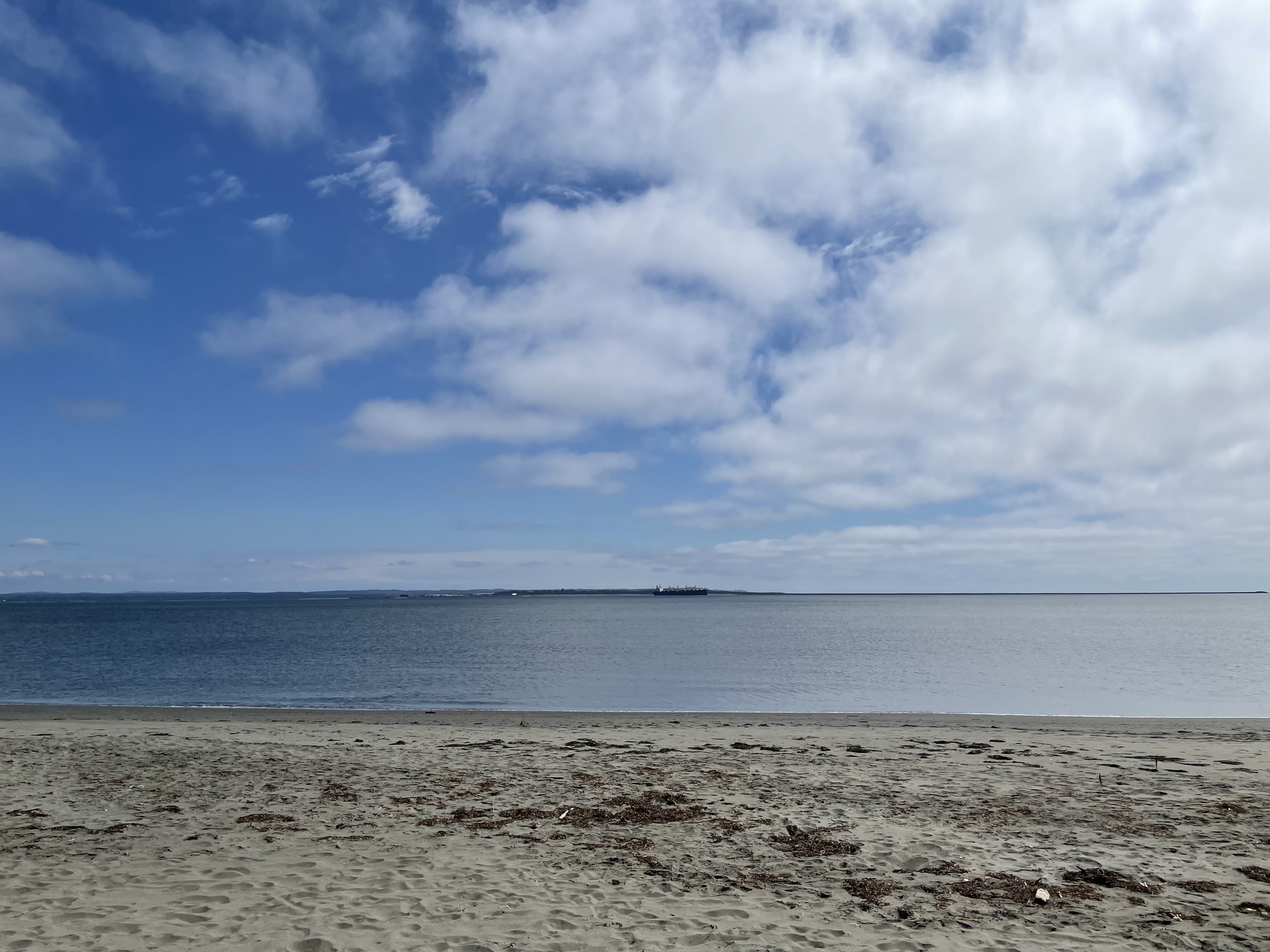
 Westport Jetty in the distance.
Click image once or twice to show detail.
 Looking towards Westport


 Looking south towards Westport


