


Several sites on the web offer info on ship locations.
Ship above is ALMAR
Click image once or twice to show detail.

 When the time is right, the top of Mount Rainier is visible from this cam:
Westport – coastal weather cam here.
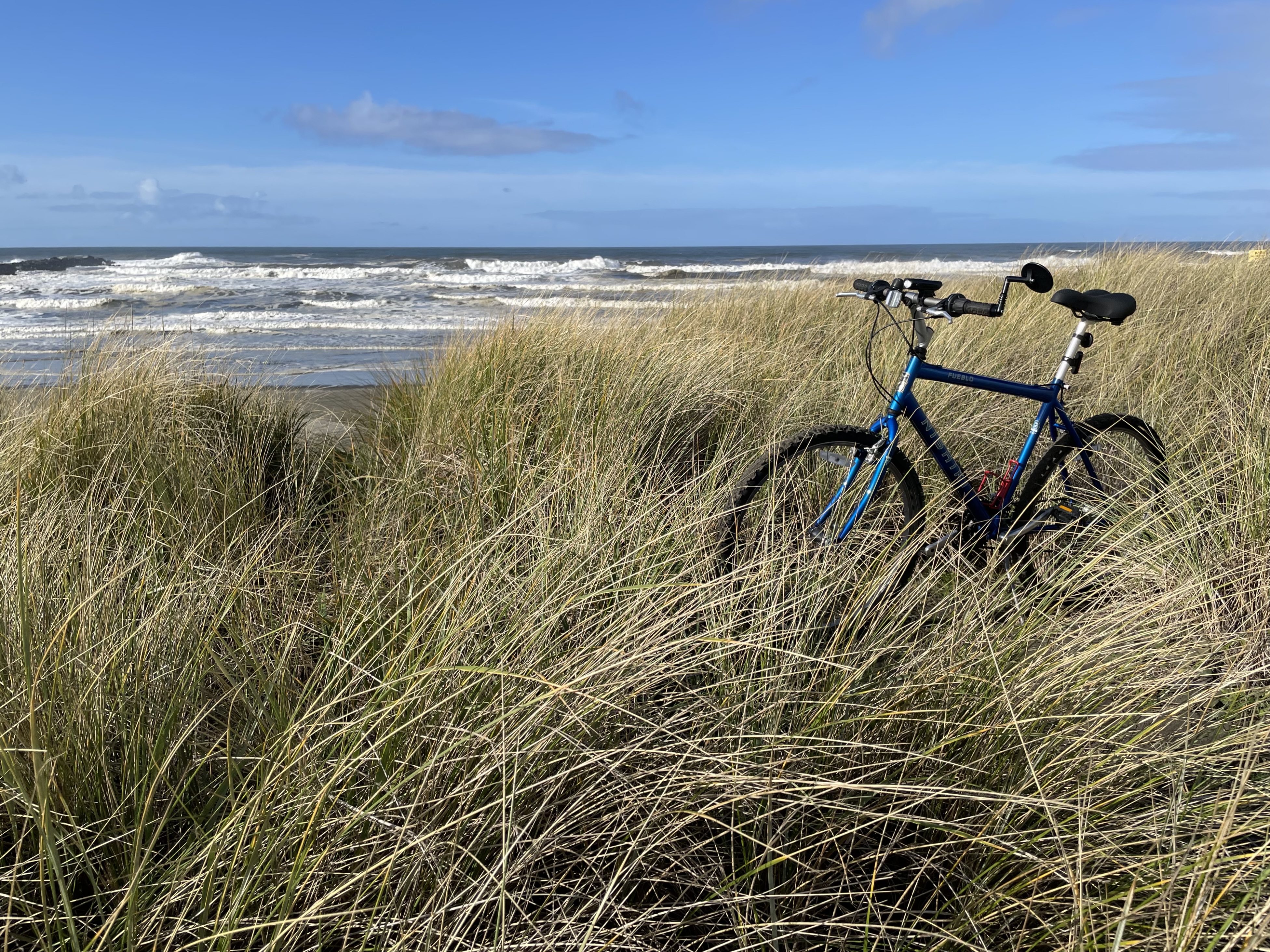
 We went out and parked at North Jetty.
A nice spot to sit in the car and enjoy the view.
 Out To North Jetty
Several sites on the web offer info on ship locations.
Ship above is Vehicles Carrier PLUTO LEADER.
Click image once or twice to show detail.
 Out To North Jetty
Several sites on the web offer info on ship locations.
Ship above is JOSCO GUIZHOU
Click image once or twice to show detail.
 When the time is right, the top of Mount Rainier is visible from this cam:
Westport – coastal weather cam here.
 Between storms – Tuesday morning

 Really enjoyed it.
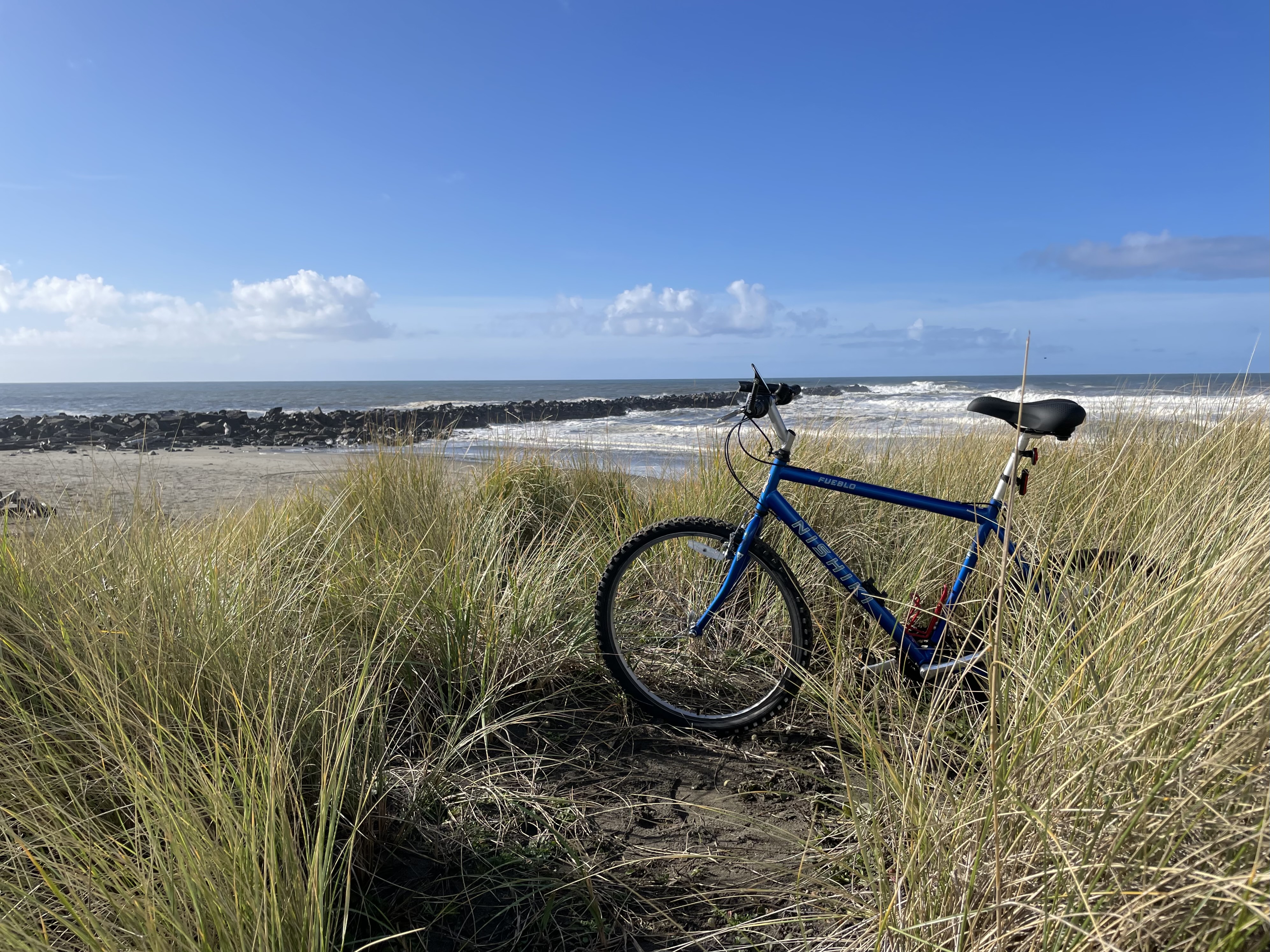
Tricky to ride on Ocean Shores Boulevard. There is no shoulder for much of the route. Not even an inch of shoulder. No sidewalk. No bike lane. The half mile or so closest to the jetty features a situation where someone is walking their dog (as they should be able to do) and they must go with the dog to walk in the lane of traffic. Someone is walking side by side with a partner (as they should be able to do) and they are in the lane of traffic. Bikes must move further into the lane of traffic to accommodate other users.
I rode on Sand Dune Avenue as much as possible in order to get to the jetty and back. Very quiet and a nice route for bikes.
There are bike lanes on Point Brown Avenue and they seem to work well.
Is there a map of all bike lanes in 98569?
Related:
Ocean Shores Is Not a Pedestrian Friendly Town
Meet me at Ocean Shores McDonald’s. We will stay on that side of the street, facing traffic and walk north on Point Brown Ave NE, all the way up to the Beacon Pest Control facility, just across from the entrance to Ocean Shores. Walking this route will suck. Couples & families are staying in a hotel room near the beach. They want to go on foot and see the town, maybe have a beer and avoid drinking and driving, maybe visit the shops, head over to Galway Bay, Lucky Dragon, walk over to Playtime Family Fun, etc. Traveling on foot will suck. Much room for improvement here. Yes, there has been one new crosswalk installed during the past 18 months or so. More of this would be helpful.
$6.3 million in federal cash for a used hotel.
Any questions from newspeople?
Step away from the crosswalk at Ocean Lake Way/Point Brown Ave. and you very quickly arrive in a pedestrian no man’s land. Your pedestrian friendly moment is now over. Walk towards the Elk’s Club from that point and see what I mean.


 When the time is right, the top of Mount Rainier is visible from this cam:
Westport – coastal weather cam here.
 When the time is right, the top of Mount Rainier is visible from this cam:
Westport – coastal weather cam here.
 No crowds this morning


 When the time is right, the top of Mount Rainier is visible from this cam:
Westport – coastal weather cam here.
 Several sites on the web offer info on ship locations.
Click image once or twice to show detail.
Ship on the right looks like AGONISTIS
Ship on the left looks like CEBU ISLAND
When the time is right, the top of Mount Rainier is visible from this cam:
Westport – coastal weather cam here.
 Picnic for today has now been rescheduled – North Jetty – Sunday Morning


When the time is right, the top of Mount Rainier is visible from this cam:
Westport – coastal weather cam here.
 Ship visible above looks like KNOSSOS
Several sites on the web offer info on ship locations.
Click image once or twice to show detail.
Westport – coastal weather cam here.
 Out to North Jetty – Wednesday afternoon
 Fishing


 Boat seen here is ZORA BELLE.
Several sites on the web offer info on maritime traffic.
Click image once or twice to show detail.
A view from North Jetty on Tuesday afternoon.
Westport – coastal weather cam here.
 Westport – coastal weather cam here.
 Last week.
 Wednesday morning.
 Wednesday morning.

 Some wave action on Wednesday morning.
Top of green buoy just visible.
Click image once or twice to show detail.
 Out to North Jetty on Tuesday morning. Looking over to Westport Jetty, just starting to show signs of the sun coming out.


The ships visible above may be VICTORIA HARBOUR and OLIVIA.
Several sites on the web offer info on ship locations.
Click image once or twice to show detail.

 Taking a look on Monday, November 14th.
Click image once or twice to show detail.


